Death Valley
About half the trip was spent inside Death Valley. This largest National Park in the lower 48 is full of amazing mountain, desert and canyon locales. The following were visited:
-
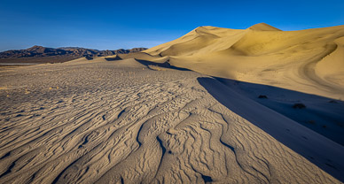
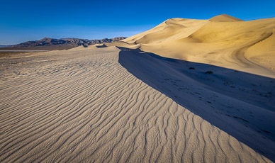
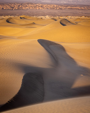
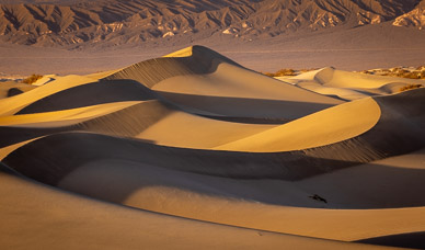
Eureka Dunes -- these sand dunes are in the park's isolated north and its prominent 700' high dune is said to North America's largest.
-
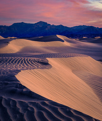
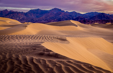
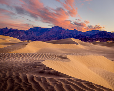
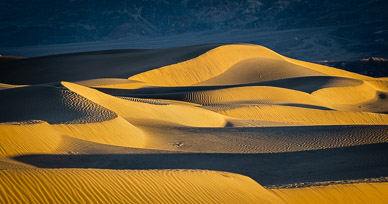
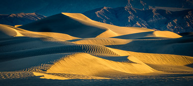
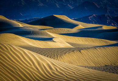
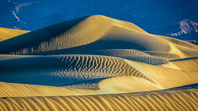
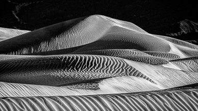
Mesquite Dunes -- this easily accessed, small sand dune field is full of photogenic scenes.
-
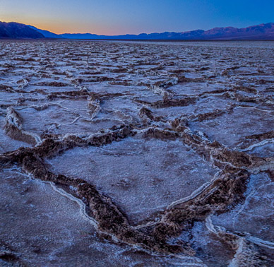
Cottonball Basin -- another easy-to-access location has many photogenic, salt-encrusted, briny rivulets.
-
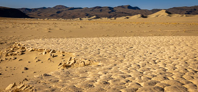
Zabriskie Point -- this heavily-visited tourist viewpoint also has primitive side trails leading to wonderful photography locations within or overlooking the colorful, picturesque badlands. In some years, heavy rains wash the badlands clay out onto the valley's floor, drying into wonderful patterns.
-
Badwater Basin -- Western Hemisphere's lowest point, Badwater is another heavily visited park location where one can find seldom-visited interesting salt flats by hiking an additional mile or so.
-
Aguereberry Point -- this 6,300' peak is part of Death Valley's western wall and provides a wonderful view down to Furnace Creek and Badwater Basin.
-
Lee Flat -- this high valley on the park's western boundary has a large grove of very tall & picturesque Joshua Trees.
-
Ibex Dunes -- these isolated, beautiful sand dunes are at the park's extreme southern end.
Panoramas – Tap/click on a pano's thumbnail to show an interactive, moving panorama; use the on-screen control bar or your finger/mouse to move around:
Image Gallery – Tap to view an individual image, then swipe to advance; use the top-right controls for auto play & other options (e.g, tap the curved arrow to open sharing options):


