Kofa Mountains
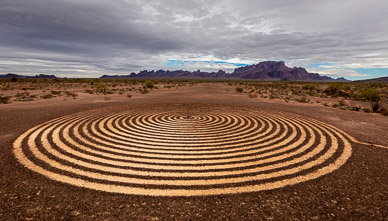
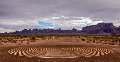
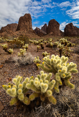
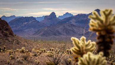
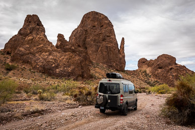
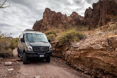
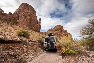
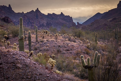
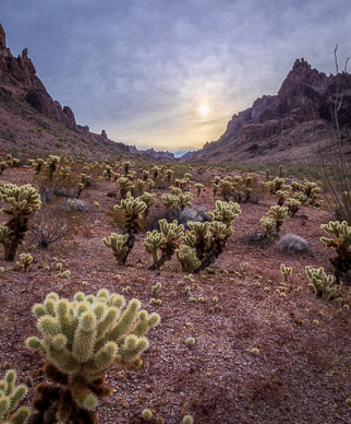
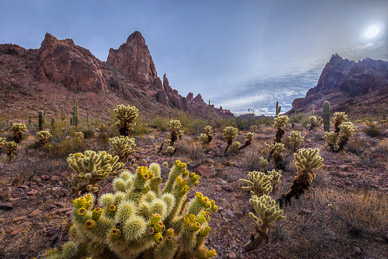
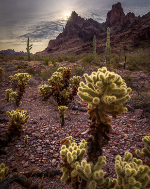
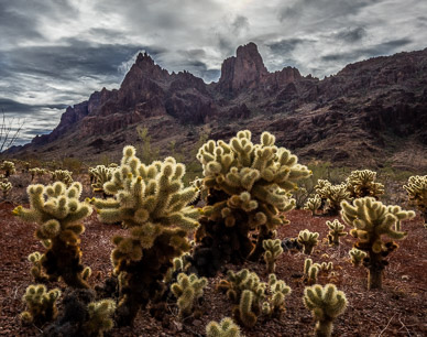
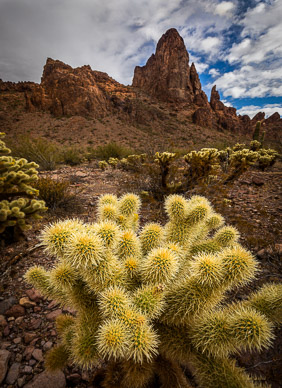
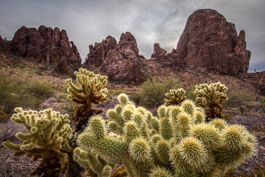
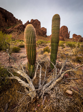
The Kofas are a small, rugged range located just north of Yuma, named after the range's long-productive King of Arizona gold & silver mine. I was motivated to explore its photographic possibilities after seeing a couple of nice images on the internet of amazingly spikey peaks with foreground cactus. But it wasn't clear where the best photogenic location was. Time spent with Google Earth lead me to focus on Kofa Queen Canyon, but maps & satellite imaging showed it having a questionable dirt track. As the below images show, Starr was able to negotiate what was basically a dry wash into an amazing canyon surrounded by spires and filled with cactus. A location that warranted a two night stay. Another local highlight was a finely-crafted spiral labyrinth located just off the Kofa's approach road.
However, I did have a memorable altercation with a Cholla (aka "Jumping") Cactus — during an absent-minded, camera-to-eye moment, I inadvertantly turned into a cactus' arm and had one of its spikey balls embed itself into my forearm (through a jacket and shirt). After carefully cutting the ball off my jacket/arm, I then PAINstakingly removed about a dozen spines left 1/3" deep in my arm. Unfortunately, there are still a few spines left below the skin surface — apparently they are going to remain as longterm reminders of this wonderful location!
Panoramas – Tap/click on a pano's thumbnail to show an interactive, moving panorama; use the on-screen control bar or your finger/mouse to move around:
Image Gallery – Tap to view an individual image, then swipe to advance; use the top-right controls for auto play & other options (e.g, tap the curved arrow to open sharing options):


