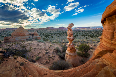
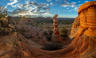
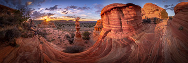
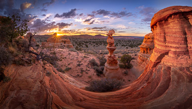
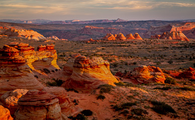
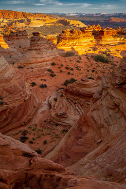
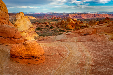
Cottonwood Cove, South Coyote Buttes, October 11
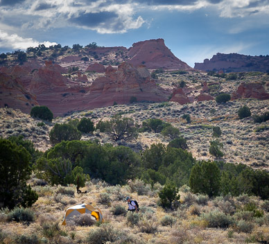
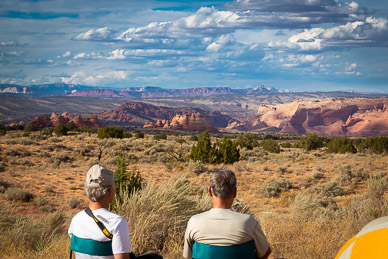
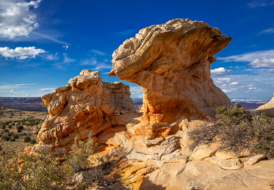
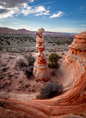
After an unsuccessful attempt in Kanab to obtain a permit into The Wave, we did obtain a one day permit into Cottonwood Cove, in the southern section of Coyote Buttes. We drove in on the least sandy route from the south, but the going was still very dicey. We stopped briefly at Poverty Flats before completing the final leg and setting up camp for the night. Before sunset we explored Cottonwood Cove's eastern portion, outside the permit area. It has an amazing rock formation called The Queen, which was very photogenic in late light. The next day was spent exploring Cottonwood Cove proper. The morning was unfortunately overcast, with very dull light, but the late afternoon light cooperated. It rained later that night which thankfully firmed up the the notoriously sandy road to White Pocket for our drive the next morning.
Panoramas – Tap/click on a pano's thumbnail to show an interactive, moving panorama in a new window; use the on-screen control bar or your finger/mouse to move around:
North & South Coyotes Buttes, with Labeled Areas:

Half & Half Rock, Cottonwood Cove:

South Coyote Buttes from the South:

Image Gallery – Tap to view an individual image, then swipe to advance; use the top-right controls for auto play & other options (e.g, tap the curved arrow to open sharing options):


