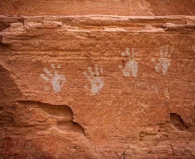
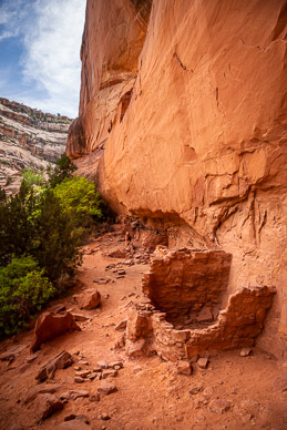
Grand Gulch
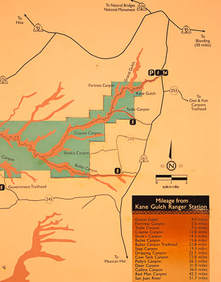
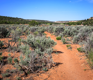
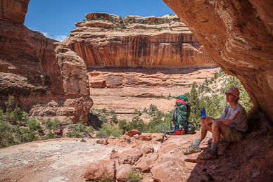
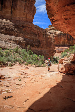
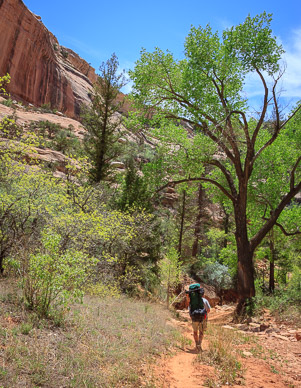
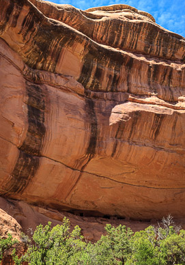
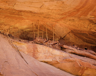
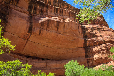
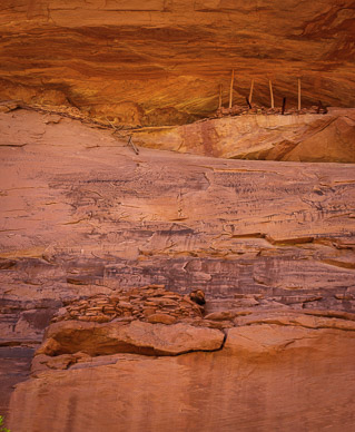
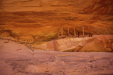
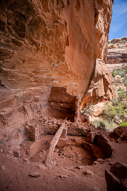
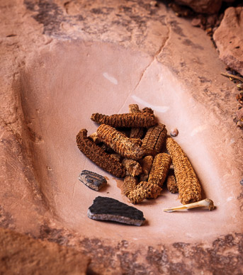
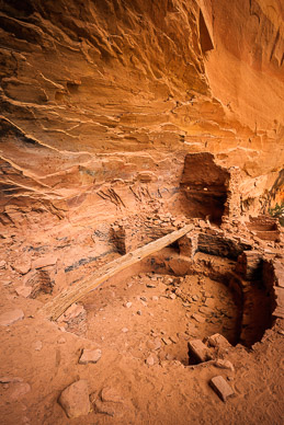
We spent 5 days backpacking down much of the Cedar Mesa area's Grand Gulch. This is a long and deep canyon carved into Cedar Mesa's sandstone and is full of hundreds of Native American ruin sites. We entered at Kane Gulch and exited at Bullet Canyon, hiking about 30 miles, exploring the various canyons and their ruins along the way. Temperatures were warm for our Oregon bodies (mid to high 80's) and water was a problem. Cedar Mesa had an extremely dry winter and we had to plan each day's itinerary around water. As it was, each day had only a single water source and therefore we had to carry a day's worth. Here's a map of the Grand Gulch area (tap/click to enlarge):
Panoramas – Tap/click on a pano's thumbnail to show an interactive, moving panorama in a new window; use the on-screen control bar or your finger/mouse to move around:
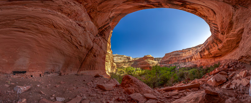
Perfect Kiva Alcove & Bullet Canyon:
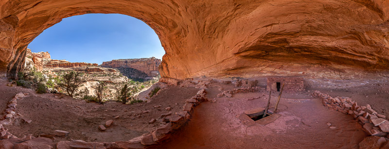
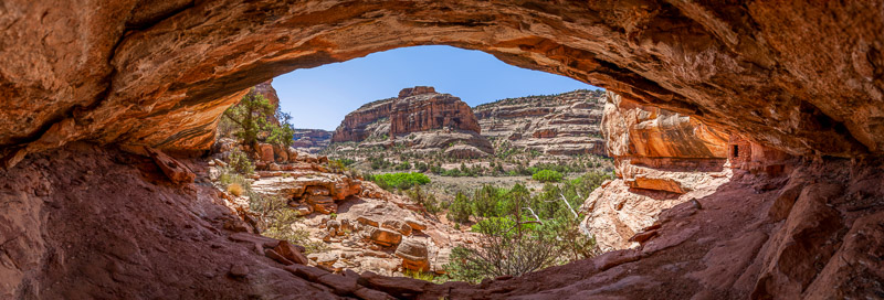
Inside Perfect Kiva, Bullet Canyon:

Image Gallery – Tap to view an individual image, then swipe to advance; use the top-right controls for auto play & other options (e.g, tap the curved arrow to open sharing options):

